Close this alert
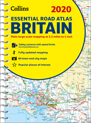
2020 Collins Essential Road Atlas Britain and Northern Ireland
Current price:
$26.20
Publication Date: September 1st, 2019
Publisher:
Collins
ISBN:
9780008318703
Pages:
344
Description
This A4 road atlas with popular lie-flat spiral binding features clear, detailed road mapping, at a scale of 3.2 miles to 1 inch (1:200,000) for England, Wales and Southern Scotland and at 4.2 miles to 1 inch (1:266,000) in Northern Scotland, and including Northern Ireland with land height shown by attractive layer coloring. Route planning section including maps at a scale of 22 miles to 1 inch for long distance route planning, motorway services information and a handy distance calculator chart 26 urban area approach maps at a larger scale which clearly show the best routes through and into the busiest built-up-areas 64 street maps focused on town centers showing places of interest, car park locations and one-way streets. All the street maps are fully indexed Fully updated fixed speed camera sites with average speed camera locations clearly highlighted. All speed cameras show the speed limit Over 30 categories of places of interest including castles, theme parks, sports venues, universities, mountain bike trails and surfing beaches. The top 1000 most visited places of interest are indexed with full postcodes to aid integration with satnav systems.